Canada Docks and Quebec Pond
[Originally published on Niche-Canada.org]
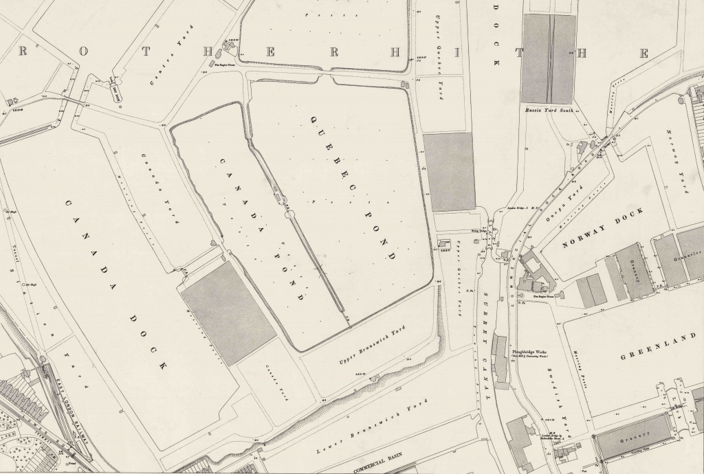
Canada Water is a small lake and wildlife refuge in the heart of Rotherhithe in South London. It is one of the few remaining parts of the once extensive Surrey Commercial Docks that covered much of the Rotherhithe Peninsula during the nineteenth century. Canada Water was Canada Dock, the centre of the timber trade in London, where timber was unloaded into the water and formed into rafts that were stored in Canada Pond and Quebec Pond (see the map below).


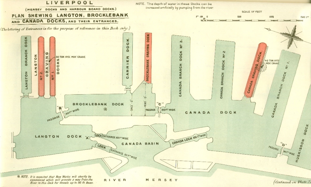
Liverpool’s Canada Dock, which was the centre of the timber trade on the Mersey River, remains intact and is still used to ship bulky commodities. The Canada Dock in Liverpool did not use storage ponds and instead the timber from Quebec, New Brunswick or the Baltic region (Russia, Sweden and Norway) was unloaded directly onto land. The threat of fire explained the remote location of the timber trade on the northern edge of the Port of Liverpool’s extensive network of docks.
