Historical 2012 Olympic Tour (1st Edition)

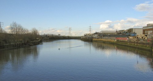
British politicians and planners are using the 2012 Olympic games to “revitalize” the Lower Lea Valley, a post-industrial landscape, situated between four inner-suburban boroughs in the East of London, including West Ham, which was the focus of my dissertation research.
A century ago R. A. Bray described West Ham “as that of a spot somewhere near London to which people went with reluctance if they had business there, and from which they returned with joy as soon as the business was over.”[1] Sadly, I don’t imagine most people would describe it any differently today and most only know it as the home of a struggling football club.
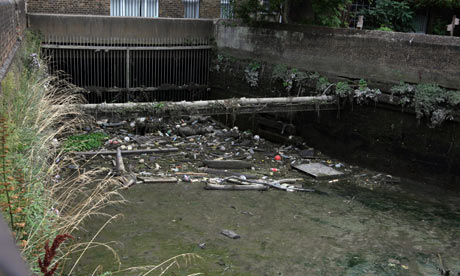
Half a century of rapid industrial and population growth in the second half of the nineteenth century transformed the once green wetlands of the Lower Lea River and Thames Estuary into a dirty manufacturing suburb with a range of social problems that matched the extensive environmental decline. Despite this troubled history and the scarred landscape it left, I would suggest travelers to London should venture eastward and see a different side of London from the regal and imperial parks and buildings in Westminster. The Docklands Light Rail lines make it easy to travel through East London and they are above ground, so you can see where you are going. Most of the West Ham sites listed below are within walking distance of a DLR station.
View Olympic Neighbourhoods in a larger map
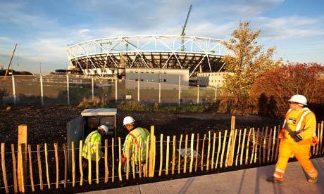
 Former industrial sites worldwide are constantly reinvented and redeveloped reflecting changes in economies and societies over time. Nowhere else in Europe is regeneration of a former industrial site more spectacular than the 2012 Olympic site on the banks of the River Lea in West Ham, East London. The creation of the Olympic park promises the rehabilitation of the Lower Lea Valley by restoring its eco-system and revitalising the community of the area.
